Part of Springerville, Eagar, Greer & Alpine, our guide to Round Valley and the high country east of Show Low.
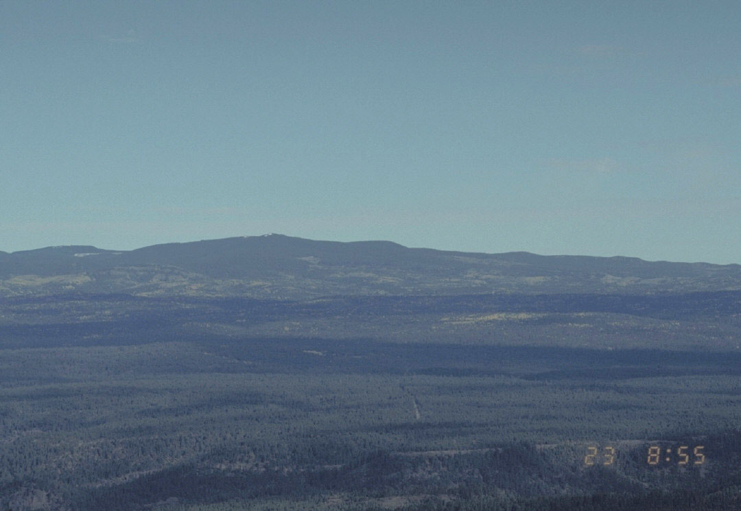
The Mount Baldy Wilderness, about 6,800 acres of spruce, fir and meadow west of Greer, is reached on the West Baldy (#94) and East Baldy (#95) trails off State Route 273; the 11,421-ft summit itself is on the Fort Apache Indian Reservation, and the White Mountain Apache Tribe asks that no one go to the top.
Checked · Edited by Sam Ridley · Sources · How we check


Please Stop at The Boundary
The Forest Service says the top of Mount Baldy “is a very holy place for the White Mountain Apache Tribe and no one should go to the top.” The reservation boundary runs part way up the mountain’s east slope. The Forest Service asks visitors not to pull down boundary signs, cut the fence or cross onto the reservation without the Tribe’s permission, and to leave tribal members praying on the mountain alone. Please turn around at the boundary.
The Trails
| Trail | Length (GIS) | Trailhead |
|---|---|---|
| West Baldy #94 | About 8 mi | SR 273, 7.6 mi south of SR 260; follows the West Fork across a wide meadow |
| East Baldy #95 | About 5.9 mi | SR 273 on the north side of the East Fork, or Gabaldon Campground; follows the East Fork |
| The Crossover Trail | About 3.5 mi | Links the two inside the wilderness |
| West Fork #94 | About 5.4 mi | Osborne Road in Greer, joining West Baldy at Sheeps Crossing |
Wilderness rules apply: no motor vehicles, bicycles or power equipment; groups of at most 12 on the trail and 6 in camp; sign in and out at the register; treat all water.

Nearby Camping
Winn Campground, on Forest Road 554 off SR 273 between Sheeps Crossing and the old Phelps trailhead, is near both trailheads at 9,320 ft: $20 a site, two group sites, vault toilets and no drinking water. Elk are often seen at twilight.
More in Springerville, Eagar, Greer & Alpine
Nearby Places and Events
Places nearby
- 1Sunrise Park Resortski and summer resort4 mi
- 2Greervillage5 mi
- 3Big Lakelake7 mi
- 4Greer Lakeslakes, pin estimated by eye7 mi
Events coming up
- 5High Elevation HorrorSunrise Park Resort, on now5 mi
- 6Winter Kick-Off featuring Warren MillerSunrise Park Resort, Oct 295 mi
- 7Sunrise Park Resort 2026-27 ski season opening (anticipated)Sunrise Park Resort, Nov 285 mi
- 8Night Skiing at Sunrise Park ResortSunrise Park Resort, Dec 265 mi
Every pin here is an estimate, not a surveyed point. A place pin marked "estimated by eye" is our own guess at the spot (a lake, park or town middle); the others use a point from OpenStreetMap (© OpenStreetMap contributors) for the named spot, which can still be off by a few blocks. Event pins sit at the center of the event's town, because we do not have each venue's exact spot. Distances are straight-line, rounded, and will not match driving miles. Dots sit in their compass direction; distance is stretched near the middle so close neighbors stay readable. Events are the next dates from our events calendar, as of October 23, 2026, and each date is the organizer's, not confirmed by us. The same places are listed beside the map.
Questions People Ask
Can you hike to the top of Mount Baldy in Arizona?
The summit is on the Fort Apache Indian Reservation, and the White Mountain Apache Tribe asks that no one go to the top; the Forest Service asks hikers to turn back at the boundary.
Which trail goes into the Mount Baldy Wilderness?
West Baldy Trail #94 (about 8 miles) and East Baldy Trail #95 (about 5.9 miles), both off State Route 273.
Are bikes allowed in the Mount Baldy Wilderness?
No. Bicycles, motor vehicles and power equipment are not allowed.
Sources
- USDA Forest Service: Apache-Sitgreaves, about the area (Mount Baldy)
- USDA Forest Service: West Baldy Trail #94
- USDA Forest Service: East Baldy Trail #95
- USDA Forest Service: West Fork Trail #94
- USDA Forest Service: trails and wilderness GIS (mapped lengths and acres)
- USDA Forest Service: Winn Campground
- USGS Geographic Names (GNIS) service
Checked October 22, 2026 by It’s Show Low. Cite this page: It’s Show Low (itsshowlow.com), checked October 22, 2026. Free to quote with a link; tables are licensed CC BY 4.0.